Out at sea
© Maritiem Museum Rotterdam
Example of a historical coastal map
© Maritiem Museum Rotterdam
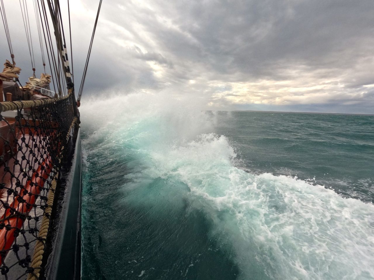
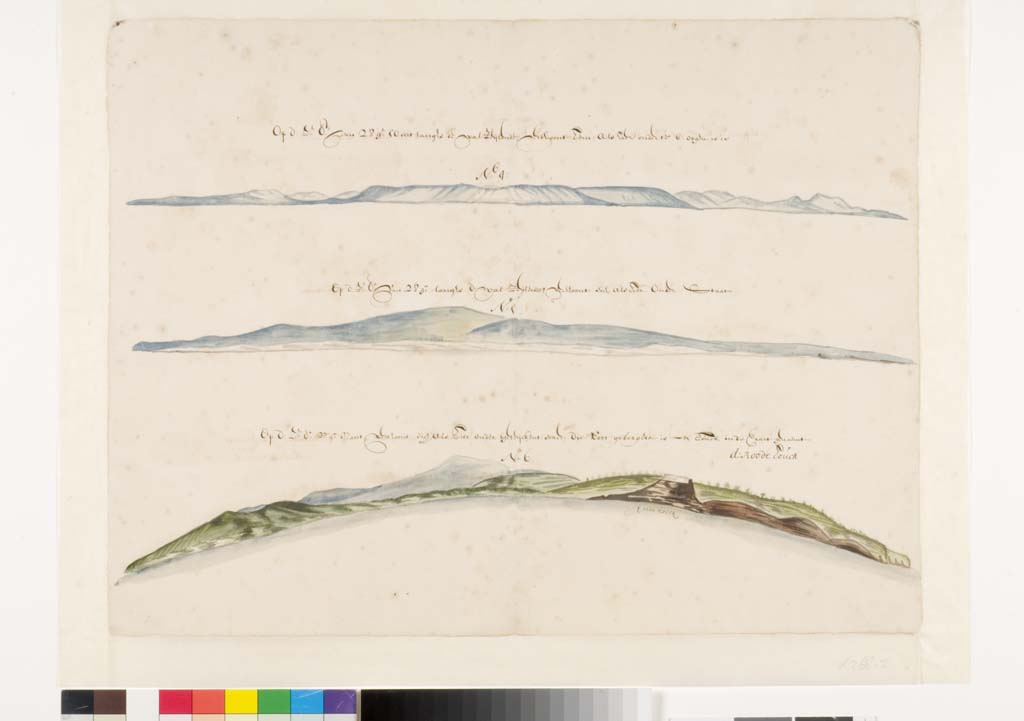
image 1:
Out at sea
© Maritiem Museum Rotterdam
image 2:
Example of a historical coastal map
© Maritiem Museum Rotterdam
Drop-In
Drawing and Understanding Coastal Maps
WELTSTUDIO special: Questioning Maps – Designing Maps
Past events
{{ time.start_TS | TS2dateFormat('DD') }}
{{ time.start_TS | TS2dateFormat('MMM') }}
{{ time.start_TS | TS2dateFormat('YYYY') }}
{{ time.start_TS | TS2dateFormat('MMM') }}
{{ time.start_TS | TS2dateFormat('YYYY') }}
| Free of charge plus admission to the exhibition |
| Simply drop by the WELTSTUDIO during your visit to the BERLIN GLOBAL exhibition! The drop-in is included in the exhibition. |
| The offer is part of the theme day "WELTSTUDIO special: Questioning Maps – Designing Maps". It can be enjoyed throughout the day between 11am and 5pm. |
| Dutch, English, German |
| Weltstudio, 1. OG |
| Belongs to: Questioning Maps – Designing Maps, BERLIN GLOBAL |
In this workshop at the WELTSTUDIO at BERLIN GLOBAL, experts from the Maritiem Museum Rotterdam show how coastal profiles can be drawn and transformed into maps.
Drawing maps from the side rather than from above offers a unique perspective. Isolines, i.e. neighbouring points with the same value, are connected to each other. They can be used to graphically depict surfaces and spatial phenomena of the landscape.
The museum experts from the Netherlands support visitors in creating their maps and provide insight into the history of coastal maps.
In cooperation and with experts from the Maritiem Museum Rotterdam